
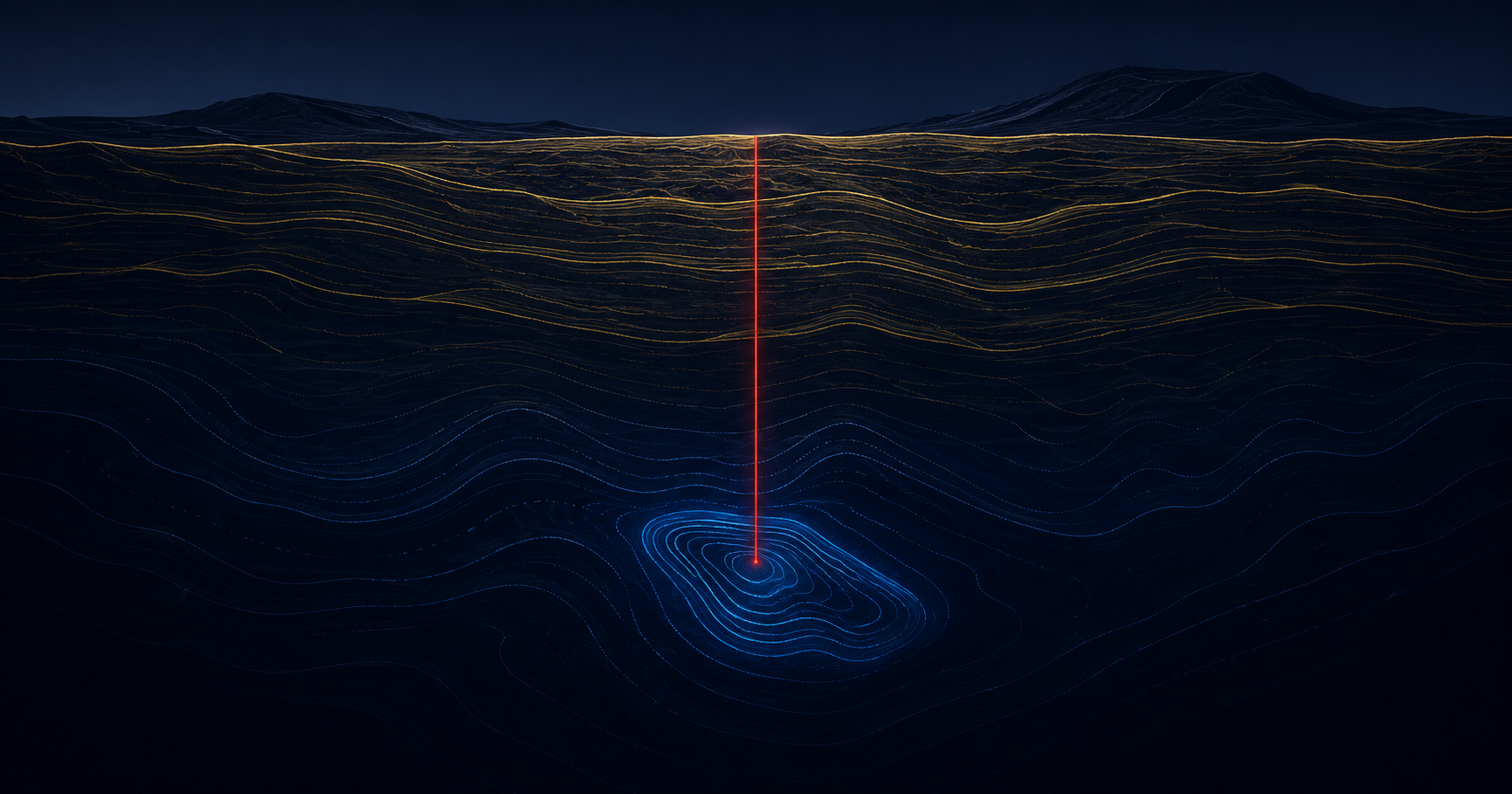
Most of what an exploration program spends, it spends confirming that a hole was in the wrong place. The drill is the most expensive way to ask a question the ground could have answered sooner.
To reduce dry holes in mineral exploration, it helps to start with what drilling actually is: economically, a sequence of expensive guesses. A program identifies a target from surface geology and legacy data, mobilizes a rig at a cost measured in thousands of dollars per day, cuts a hole, and finds out whether the guess was good. Most of the time, it was not.
The industry has a plain word for the hole that finds nothing worth pursuing: dry. Efforts to reduce dry holes in mineral exploration are not a marginal optimization — they go at the largest controllable cost in the entire enterprise, because the economics are dominated, more than by any other single factor, by how many dry holes a program cuts before it finds what it is looking for.
The reason so many holes come up dry is not incompetence. It is that the target was chosen with far less subsurface information than the decision deserved. The rig commits capital to a point on a map that was, until the moment it was drilled, mostly inference.
What causes a dry hole in mineral exploration?
A dry hole results when a drill target chosen from surface mapping, geochemistry, and legacy data does not intersect what the program was pursuing. The cause is an information gap: the target is selected with limited direct evidence of what lies beneath it, so some holes are committed to the wrong place, depth, or structure.
To reduce dry holes in mineral exploration, see more before the rig moves
The way to cut the number of dry holes is to narrow the guess before committing the rig — to bring more subsurface evidence to the target-selection decision than surface data alone can provide.
This is the problem the USADG quantum sensing platform is designed to address. The 6-channel quantum sensor is engineered to detect subsurface anomalies at depths of up to 15 km — variations in the physical properties of the subsurface that surface geology cannot resolve. Evidence of that kind, brought into target selection, supports committing a rig to a point backed by direct physical measurement rather than inference alone.
A sensor reading is cheap. A drill hole is not. The entire economic argument is moving as much of the decision as possible from the second instrument to the first.
It is worth being precise about what an anomaly represents. It is a lead — a place where the physics of the subsurface differs from its surroundings, a signal that this ground merits a closer look before the next. The value the sensing platform is built to deliver is a better-informed target: the drilling budget spent testing the most promising ground first, so the strong leads are drilled early and the weak ones set aside before they consume a rig. That reordering — best ground first, on physical evidence — is where the dry-hole count actually falls. The critical mineral subsurface mapping platform is where that survey capability is described in full.
The part nobody else can offer: before and during
Better targeting before the rig arrives is valuable on its own. But the sensor is only half of the system, and the other half is what makes the platform genuinely different from a survey vendor.
Once drilling begins, the rig itself is a source of live data — the drill telemetry, the response of the bit, the measurements taken as the hole deepens. On most programs that information is logged, reviewed later, and used to plan the next hole. The opportunity it represents in the moment is largely lost, because nothing fuses it with the pre-drill picture while the hole is still being cut.
This is the loop ReflexOS™ is built to close. The subsurface picture from the pre-drill survey and the telemetry from the rig are designed to feed a single operating view — so that what the drill encounters can update the picture in real time, while there is still a decision to make about this hole and the next one. That is the fusion of two data streams most programs never combine: the survey before, and the drilling during, resolved into one continuously updated picture.
The practical effect is that a hole need not be a single expensive question answered only at the end. As the bit advances, the platform is designed to compare what the rig encounters against the pre-drill model — so that agreement raises confidence in the surrounding targets, and divergence becomes information available in time to reconsider the current hole rather than something discovered in a review weeks later. Each hole can inform the next while it is still being drilled, rather than after the budget for it is already spent.
ReflexOS™ is built to fuse the pre-drill subsurface survey with live drill telemetry into a single operating picture. The design identifies where what the rig encounters agrees with — or departs from — the pre-drill model, flags the divergence while the hole is still active, and surfaces it for the geologist’s discussion so the program can adjust the current hole or the next target deliberately. The interpretation stays with the qualified people who own it. The platform’s role is to put both halves of the evidence in front of them at the same time.
That before-and-during fusion is the capability nobody else in the market is assembling, and it is the heart of a real critical mineral risk intelligence for defense contractors posture — because for a defense-relevant supply chain, exploration efficiency is not only a cost question. It is a question of how quickly a secure domestic source can be brought from prospect to production.
Throughout, the platform is designed to produce geophysical evidence — anomalies, physical-property variations, a better-informed view of where to look — as an input to the geoscientists and engineers who interpret it. Its role is to put a sharper question in front of the people who answer it, and to keep that question sharpening with every meter drilled.
Where the drilling budget actually goes
The value of narrowing the guess shows up in different places depending on what a program is exploring for and where.
On unproven ground, the dry-hole rate is highest and the value of a better-informed first target is greatest. More subsurface evidence before the rig moves is the difference between testing the strongest ground first and drilling toward it.
A rare earth deposit mapping platform matters most where the target is structurally complex and conventional surface signatures are weak — exactly the settings where committing a rig on inference alone burns the most budget.
Real-time risk intelligence for mining operations applies the same fusion model to a producing site, where step-out and infill drilling still carry dry-hole risk and a live picture would keep each new hole informed by the last.
For programs building a secure domestic source, every dry hole is not just cost — it is time on a national-security clock. Fewer wasted holes is a faster path from prospect toward production.
Across all of them the mechanism is the same: move evidence forward in the process, so the expensive instrument is committed later and better — a picture that sharpens while the program is running, not a report delivered after it.
The effect compounds over a program. A single better-targeted hole saves the cost of one hole; a program that consistently drills its strongest ground first changes the shape of the whole campaign, because the early results that shape budgets, partnerships, and the decision to continue are drawn from the best evidence rather than the luck of the draw. In exploration, the order in which questions get asked is not a detail — it is most of the economics, and it is the part a better subsurface picture most directly improves.
The cheapest hole a program can drill is the one it decides, with better evidence, not to.
The largest controllable cost in exploration is the hole that finds nothing. U.S. Aerospace Defense Group is developing the 6-channel quantum sensing platform and the ReflexOS™ operating picture for exploration and mining programs — subsurface evidence to inform targeting before the rig moves, drill telemetry fused with it while the hole is cut, and a single operating view designed to sharpen with every meter drilled.
#MineralExploration #DryHoles #DrillingEconomics #Geophysics #QuantumSensing #CriticalMinerals #RareEarth #MiningTechnology #SubsurfaceMapping #ExplorationDrilling #ReflexOS #MineToMarket #DefenseSupplyChain #DomesticSupply #ResourceSecurity #SDVOSB #USADG #IntelligenceBrief