
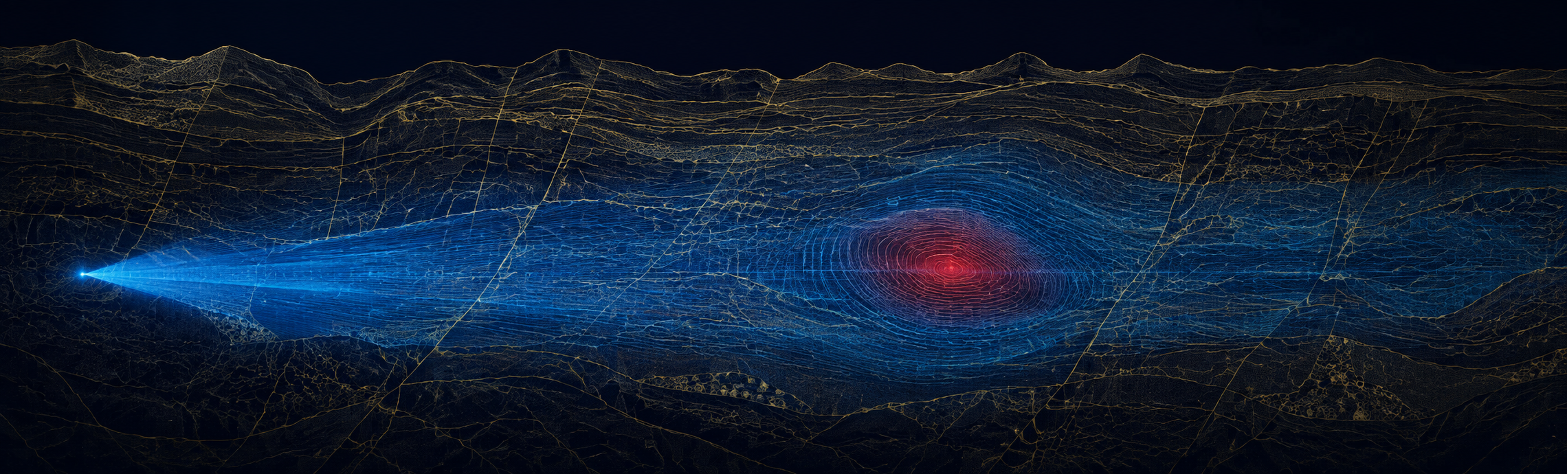
Rare earth elements are not, for the most part, geologically rare. What is rare is finding them in a form and a place worth developing — and the search for that is harder than the name suggests.
The great irony of rare earth elements is embedded in the name — and it is the irony a rare earth deposit mapping platform exists to resolve. As a class, they are reasonably abundant in the earth’s crust, more common than gold or silver. The scarcity that matters is not geological abundance but concentration: the elements are usually spread thin, scattered through host rock in forms and quantities that make them difficult to locate, difficult to distinguish from the surrounding geology, and expensive to pursue on anything but strong evidence. The problem was never that rare earths are rare. It is that finding a target worth developing is genuinely hard.
This is the problem a rare earth deposit mapping platform is built to address — not the abundance of the elements, but the difficulty of resolving a promising subsurface signature from the noise around it, at a scale and depth that conventional surface survey struggles to reach. The search is a geophysical problem before it is a mining one, and the quality of the geophysical picture largely determines whether the expensive parts of exploration are aimed well or aimed blind.
For a country trying to build a domestic rare earth supply, and for the companies doing the actual searching, that early picture is where a great deal of the risk and the cost concentrate. Better subsurface evidence, earlier, changes the economics of the entire search.
The strategic timing sharpens the point. The demand for rare earths — in magnets, motors, sensors, and the defense systems built on them — is rising at the same moment that the concentration of supply has become a recognized vulnerability. That combination puts a premium on finding new, trusted sources, and finding them is exactly the bottleneck that better mapping addresses. The search has never mattered more, and the search has always started underground.
What is rare earth deposit mapping?
Rare earth deposit mapping is the use of geophysical survey to locate the subsurface signatures associated with rare earth mineralization — the physical-property contrasts that indicate where the elements may be concentrated — so exploration is targeted on evidence, not assumption. It produces an anomaly picture that guides where to investigate; confirming a resource remains the work of drilling and the qualified professionals who assess it.
Why a rare earth deposit mapping platform starts with the hardest signal in exploration
Rare earth mineralization does not announce itself. Unlike a massive sulfide body or a coal seam, rare earth concentrations are often subtle in their geophysical expression — hosted in complex geology, variable in form, and easily confused with the ordinary variation of the surrounding rock. The signal an explorer is looking for is frequently faint, and the ground around it is rarely quiet.
That is why geophysical survey for rare earth exploration rewards depth and sensitivity more than almost any other target. A survey that reads only the shallow subsurface, or that cannot distinguish fine physical-property contrasts, will miss the signatures that matter or drown them in noise. The instrument’s ability to resolve subtle anomalies, at depth, is not a refinement on the margins of the search. It is often the difference between seeing a target and walking past it. And because the cost of the search rises steeply as it moves from survey to drilling, the value of resolving that faint signal early is disproportionate: a better picture at the cheap end of exploration prevents a great deal of expensive work at the wrong end of it.
The elements are not hiding because they are rare. They are hiding because their signature is faint and the ground around it is loud. Mapping is the work of telling the two apart.
This is where sensing capability translates directly into search economics. Every subtle anomaly a survey can resolve is a target that can be evaluated on evidence; every one it misses is either a missed opportunity or a hole drilled on a hunch. Subsurface anomaly detection for critical minerals is the discipline of pulling those faint signatures out of the surrounding geology — and doing it before the most expensive phase of exploration begins, when the information is worth the most.
What the platform is built to do
USADG’s approach to this problem pairs a sensing capability with the platform that turns its output into decisions. The 6-channel quantum sensor is engineered to detect subsurface anomalies at depths of up to 15 km — resolving physical-property contrasts that shallower or coarser survey methods cannot — and the platform is built to turn that evidence into a clear, prioritized picture of where a rare earth search is best directed.
The distinction that matters, and that USADG holds to strictly, is what that picture is and is not. It is an anomaly and target picture: evidence of where the subsurface differs in ways worth investigating. It is not a statement about grade, tonnage, or what a property contains. Those determinations belong to drilling and to the qualified professionals who make them under the codes that govern resource reporting. The platform’s job is to make their evidence base sharper and to aim the expensive work well — never to pre-empt the verdict that only a qualified person can sign.
ReflexOS™ is built to turn raw geophysical survey into a prioritized search picture. The design identifies where subsurface anomalies stand out from the background geology, flags the signatures most consistent with the target the explorer is pursuing, and surfaces them for the geology team’s discussion so the program can adjust — concentrate follow-up where the evidence is strongest, and hold back where it is thin. The platform sharpens and sequences the evidence. The interpretation, and the resource determination, stay with the qualified people who own them.
Used this way, a rare earth exploration targeting platform is not a shortcut around the geologist. It is an instrument that lets the geologist aim — replacing some of the guesswork at the front of the search with evidence, so the drilling that follows is pointed at the strongest ground the survey could find. The broader capability behind it is described in the critical mineral subsurface mapping platform, and the way a stronger early picture changes drilling economics is set out in reduce dry holes in mineral exploration.
Where better mapping changes the search
The value of a stronger subsurface picture shows up at different points in the rare earth search, and each rewards being seen as part of one program rather than in isolation.
Where there is little prior data and the ground is wide. Rare earth prospectivity mapping matters most here, because the earliest evidence is what decides where a search even begins.
Where the target sits below the reach of conventional survey. Deep subsurface mineral exploration depends on resolving contrasts at depths shallower methods cannot read, which is exactly where sensitivity earns its keep.
Where a region is known to be prospective but the targets within it are not yet resolved. Critical mineral exploration technology sharpens the picture inside ground that is already worth a closer look.
Where the search serves a national need to build supply at home. Faster, better-aimed exploration is how a strategic intention becomes an actual source, and better mapping is where that acceleration starts.
Read as one capability, these are the components of a real rare earth deposit mapping platform: not a promise about what a property contains, but a sharper, deeper, better-prioritized picture of where the search should look — so the expensive work of exploration is aimed at evidence, not hope.
The elements are out there, more common than the name suggests. The advantage does not go to whoever wants them most. It goes to whoever can see the ground most clearly before spending to prove it.
A rare earth search is won or lost on the quality of the picture before the drilling starts. U.S. Aerospace Defense Group brings the quantum sensing platform designed to resolve subsurface anomalies at depth, and the ReflexOS™ picture that turns that evidence into a prioritized search — so exploration is aimed at the strongest ground the survey can find. Better evidence, earlier, changes the economics of the entire search.
#RareEarth #CriticalMinerals #Geophysics #MineralExploration #REE #SubsurfaceMapping #ResourceSecurity #DomesticSupply #ExplorationTechnology #QuantumSensing #ReflexOS #Prospectivity #MiningTech #DefenseIndustrialBase #SDVOSB #USADG #IntelligenceBrief