
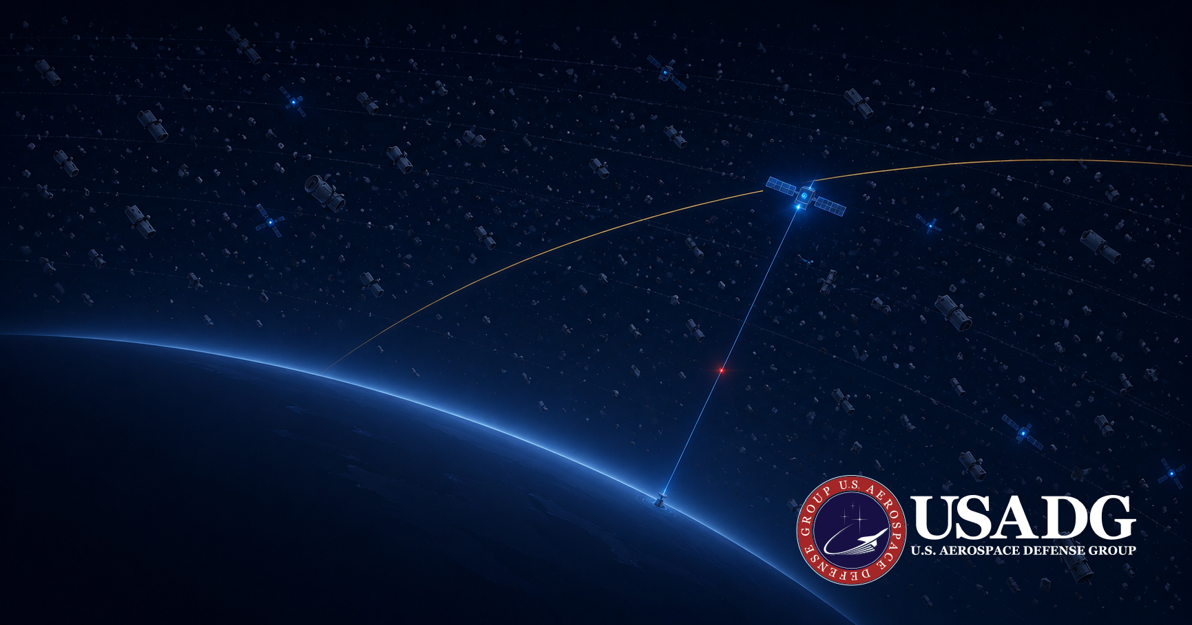
Collision risk in low Earth orbit has risen 20% since 2024. The tracked catalog is the visible fraction of the problem — and the most exposed part of a space program is not the part in orbit.
Space stopped being an exploration story some time ago. It is infrastructure now — communications, navigation, timing, imagery, early warning — and a great deal of what happens on the ground quietly assumes it will keep working.
Which means the risk calculus has changed too. A satellite operational risk assessment platform is no longer a nice-to-have for a research program; it is the basic instrumentation of an operator whose asset is a piece of critical infrastructure flying through an environment that is measurably more hostile than it was two years ago. Not rhetorically more hostile. Measurably.
What is space situational awareness risk assessment?
Space situational awareness risk assessment is the practice of evaluating the threats to a spacecraft from its operating environment — orbital debris, conjunctions with other satellites, space weather and radiation. It combines tracking data, models and live telemetry to estimate the probability and consequence of harm, so an operator can decide whether and when to maneuver.
The catalog is the tip of the iceberg
Surveillance networks now catalog more than 40,000 objects in Earth orbit. Of those, roughly 14,000 are functioning satellites. The rest — the clear majority — is debris: spent rocket bodies, dead spacecraft, and fragments from explosions, collisions and anti-satellite tests.
That is the number people quote. It is also the number that understates the problem by orders of magnitude.
Below the tracking threshold sits an environment nobody can see object by object. ESA’s modeling puts roughly 1.2 million fragments between 1 and 10 centimetres in orbit, and more than 140 million smaller than a centimetre. None of these are individually trackable. All of them are lethal. A one-centimetre aluminium fragment at orbital velocity carries kinetic energy comparable to a hand grenade; a ten-centimetre object will destroy a satellite outright. There is no practical shielding at these speeds.
So the operator’s real exposure is not the catalog. It is the catalog plus an invisible cloud of hypervelocity shrapnel filling every orbit anyone wants to use — and the only defensible posture against the visible part is to see it early enough to move.
You can maneuver around what you can track. Everything else is a question of luck and shielding — and at orbital velocity, there is no shielding worth the name.
The curve is bending, and it is bending fast
A static picture of orbital congestion is misleading, because the thing that should worry an operator is not the level. It is the slope.
ESA’s 2026 Space Environment Report finds that collision risk in low Earth orbit has risen roughly 20 percent since 2024 — driven by megaconstellation expansion, the accumulated debris from deliberate anti-satellite tests, and a fragmentation rate that continues to outrun what atmospheric drag can clear. And ESA’s modeling carries a conclusion worth sitting with: even if every launch stopped tomorrow, the debris population would keep growing for the better part of two centuries, because fragmentation creates new objects faster than decay removes them.
What that looks like operationally is no longer occasional. Across 2025, a single large constellation operator reported performing on the order of 300,000 collision-avoidance maneuvers — roughly a 50 percent increase over the prior year. Collision avoidance used to be an exception handled by a duty officer with several days of warning. At 550 kilometres in 2026 it is a continuous, high-frequency operational burden that consumes propellant, degrades position predictability, and never stops.
The sharpest illustration comes from the research community. The so-called CRASH clock — an indicator estimating how long operators would have to restore control after a major disruption before a catastrophic impact becomes likely — stood at 121 days in 2018. As of 2025, megaconstellation deployment had pulled it down to 2.8 days.
That is the environment orbital conjunction risk assessment software now has to operate in. A screening report that arrives on a weekly cycle is not a risk product in a world with a 2.8-day margin. It is a historical document.
ReflexOS™ operates as a real-time overlay on the ground systems a space operator already runs — fusing conjunction data, space-weather signals and fleet telemetry into live situational awareness that scales as a constellation grows. It sits on top of existing infrastructure rather than replacing it, and it is available exclusively to USADG clients. In an environment where the margin is measured in days, the point is not more data. It is a decision the operator can act on while acting is still possible.
The most exposed part is not in orbit
Ask an operator to name their biggest vulnerability and most will point upward. The honest answer usually points down.
A satellite is only as secure as the network commanding it. The ground segment — the command-and-control infrastructure that flies the spacecraft — sits on terrestrial networks, speaks over links that can be intercepted or jammed, and is very often funded generously on the orbital side and thinly on the cyber side. An adversary does not need to reach a satellite to compromise a mission. Reaching the ground station that commands it will do.
This reframes what “space risk” even means. It is not one hazard in one place. It is a chain — payload, link, ground — and a program is exposed at whichever link is weakest. There is a fourth link that belongs in the same picture: the position and timing signal the whole enterprise leans on, and what happens when it is jammed or spoofed in a GPS-denied environment. Ground segment cyber risk assessment belongs in the same review as conjunction screening, and in most organizations the two have never been in the same room. The security side of that problem is the same one we take up in cyber resilience for critical infrastructure: the exposed system is usually the one you cannot take offline.
The most expensive part of a space program is in orbit. The most exposed part isn’t in orbit or on the ground — it’s the link running between them — and the two facts are rarely reflected in the same risk review.
Risk across the space enterprise
Space risk is not a single exposure. It is a set of them, distributed across the whole enterprise — and a serious posture accounts for every link, not just the one people photograph.
Space debris risk forecasting has to keep pace with a population that grows even without new launches. The 780–820 km sun-synchronous band is the worst of it — highest density, and debris that lingers for 50 to 100 years.
Command-and-control infrastructure on terrestrial networks is the quiet, chronically underweighted exposure. The satellite is only as secure as the network flying it.
Spacecraft anomaly risk forecasting reads the telemetry an operator already collects and flags a developing fault while it is still a fault — not after it has become a fragmentation event.
Radiation risk to satellite systems and solar-driven variation in atmospheric drag both move mission-life assumptions. A lifetime figure set at launch is an input to a dozen downstream decisions — worth re-checking against current conditions.
What this means for coverage
There is a persistent gap in the space enterprise between what is in orbit and what is actually protected. It exists partly because the coverage landscape for space assets is genuinely thin, and partly because the risk picture now moves faster than an annual model can track. A 20 percent shift in collision risk over two years is not a rounding error on a policy written against a launch-day snapshot.
As a specialized independent insurance broker, USADG works both sides of that gap. On the operational side, the overlay described above surfaces likely exposures early — the cadence is identify → flag → discuss → adjust. On the placement side, USADG connects clients to hull, liability and space coverage through A-rated underwriting partners, structured for how constellations and defense-adjacent space programs actually operate. USADG is a broker: it does not underwrite and it does not assume risk. It brings the intelligence and the market access into the same conversation, so that when an exposure surfaces, the coverage discussion starts from a current picture. Launch and third-party liability sit alongside this on the USADG coverage page, and the operational logic underneath all of it is the real-time operational intelligence platform that runs across every domain USADG serves.
Built to endure
Nothing about the orbital environment is going back the way it came. The debris population grows on its own. The constellations keep launching. The maneuver count keeps climbing, and the margin keeps compressing.
The programs that endure will be the ones that stopped treating space risk as a single hazard in a single place and started treating it as what it is — a chain running from the payload through the link to the ground, changing in real time, and requiring a decision on a clock measured in days rather than quarters.
One hundred and twenty-one days in 2018. Two point eight days in 2025. Whatever else that number is, it is not a trend you manage with a quarterly review.
U.S. Aerospace Defense Group gives space operators real-time situational awareness through the ReflexOS™ overlay — on top of existing ground infrastructure, with no rip-and-replace — and, as a specialized independent broker, places hull, liability and space coverage with A-rated underwriting partners.
#SatelliteRisk #SpaceInfrastructure #SpaceSituationalAwareness #OrbitalDebris #ConjunctionAssessment #SpaceDebris #LEO #GroundSegmentSecurity #SpaceWeather #KesslerSyndrome #Megaconstellations #SpaceInsurance #SpaceDomainAwareness #ReflexOS #SatelliteOps #GovCon #DefenseContractor #AerospaceDefense #SDVOSB #USADG #BuiltToEndure #IntelligenceBrief