
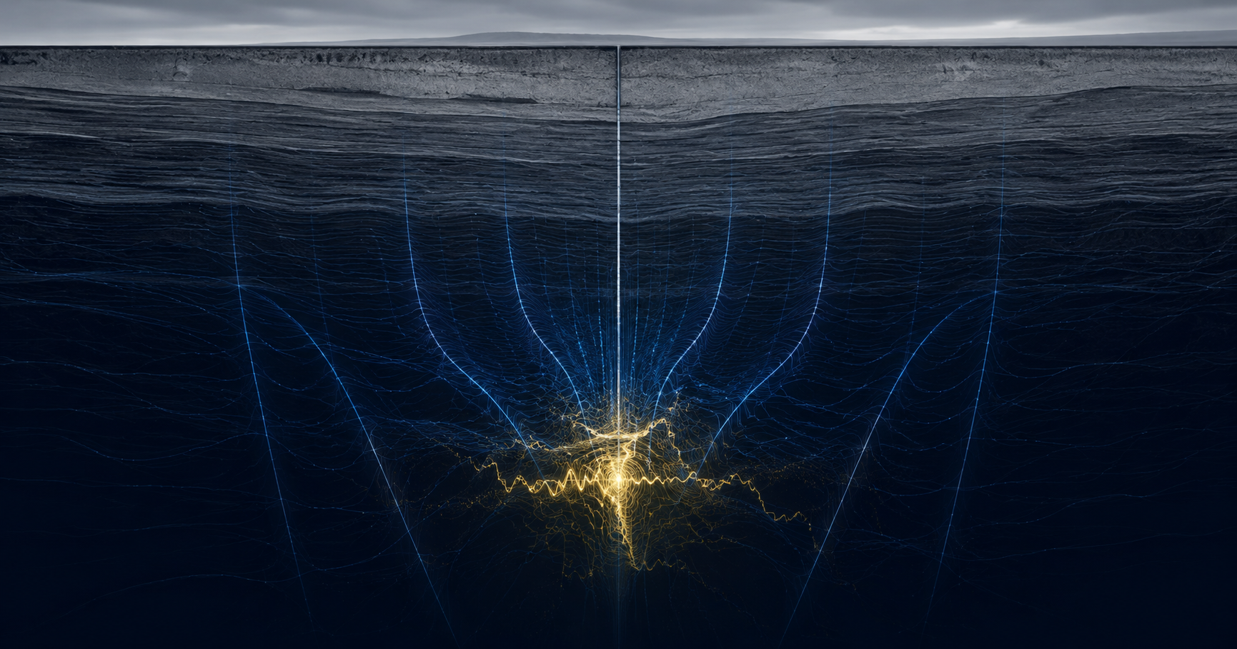
One continuous picture from the ground to the market — subsurface evidence before the rig arrives, and drill telemetry while the hole is being cut.
Exploration is the only industry that routinely spends six figures to learn it was wrong.
A dry hole is not a failure of execution — it is the expected outcome of most holes. The industry has priced that in and named it: cost per metre, discovery cost, drilling success rate. Every one of those metrics exists because the sector accepts, as structural, that it drills into inference. Bringing more evidence to the target before the rig commits is how that structural cost comes down — the argument set out in reduce dry holes in mineral exploration.
A critical mineral subsurface mapping platform changes what the drill is being sent to test. Not by removing uncertainty — geology does not permit that, and anyone who says otherwise should be shown the door — but by putting independent physical evidence in front of the decision, before the capital is committed.
How does subsurface mapping improve mineral exploration?
Subsurface mapping improves mineral exploration by replacing inference with measurement at the targeting stage. Instead of selecting drill locations primarily from surface geology, historical workings and geological models, an exploration team can direct the rig using independent geophysical evidence of what actually lies beneath — narrowing the target set before the highest-cost activity in the program begins.
The concentration problem starts underground
The strategic picture is now well understood, and it is worse than most summaries of it suggest.
The 2025 List of Critical Minerals identifies 60 minerals essential to the U.S. economy and national security — 50 carried forward from the 2022 List, ten newly added, with 15 rare earth elements among them. The International Energy Agency’s assessment of the refining stage is starker still: across the twenty strategic minerals it tracks, China is the dominant refiner for nineteen, at an average market share of roughly 70 percent. In 2024 the United States imported 80 percent of the rare earth elements it consumed.
Most of the federal response addresses refining, and it should — that is where the chokepoint bites first, and it is the part that can be rebuilt with capital and permits on a visible timeline.
But a refinery needs feedstock, and feedstock needs a deposit, and a deposit has to be found. That is where the timeline actually starts, and it is the slowest, least tractable link in the chain. Exploration does not respond to appropriations the way a processing facility does. It responds to whether anybody knows where to look — and the honest answer, across most of the domestic land position, is that nobody does yet. The USGS is mapping it. The sector is drilling into it. Both are working from an incomplete picture.
And the clock on that link is brutal. S&P Global’s study of 232 assets brought from discovery into production puts the average lead time at roughly 16 years — with more than twelve of those years consumed by exploration and feasibility work, and only four or five by actual construction. In the United States the average runs closer to 19. For projects still sitting in feasibility, it has stretched toward 30.
Read the composition of that number rather than the number itself. The permitting debate gets the attention, and it deserves some of it. But the largest single block of time in a mine’s life is spent before anyone is confident there is a mine — proving up ground, drilling into a hypothesis, refining a model, drilling again. Twelve years of it.
None of which is lost on the people responsible for it. The USGS is running the Earth Mapping Resources Initiative precisely because the domestic geological picture is thinner than the strategy requires, and the Critical Minerals Mapping Initiative exists to pool that understanding across allied surveys. That work is necessary, it is serious, and it operates at national scale — which is to say it produces a map of the country, not a decision about a specific block of ground on a specific Tuesday.
A domestic supply chain cannot be legislated into existence upstream of discovery. Discovery is a sensing problem — and it has been sitting at the back of the queue behind problems that were easier to fund and faster to photograph.
Advanced sensing for critical mineral exploration — what the instrument does
USADG operates a 6-channel quantum sensing capability built for depth.
USADG’s 6-channel quantum sensing system detects subsurface anomalies at depths of up to 15 km.
Read that sentence precisely, because it is written precisely. It says up to, and it says anomalies. It describes what the instrument does. It makes no statement whatever about what will be found, in what quantity, or at what grade — and the distinction between those two kinds of sentence is the difference between a technology company and a defendant.
What deep, non-invasive sensing changes is the shape of the search. Conventional exploration geophysics loses resolution with depth, which is why so much of the sector’s activity concentrates on the shallow, the already-known and the brownfield — not because that is where the minerals are, but because that is where the instruments still work. Deep mineral deposit detection widens the addressable ground. Subsurface anomaly detection for mining, done before the rig mobilizes, changes which ground gets tested first. For rare earth elements in particular — abundant as a class but faint and hard to resolve in the ground — that is the whole search, as rare earth deposit mapping sets out.
The effect is not certainty. The effect is a better-ordered queue — and in a business where a single hole is a six-figure line item, the order of the queue is the economics.
The sector already prices this — it just calls it something else
Exploration teams do not need to be persuaded that targeting is expensive. They measure it, in a vocabulary the rest of the resource industry rarely uses and outsiders almost never learn.
Cost per metre. Discovery cost — dollars spent per unit of metal actually found. Exploration success rate. Metres drilled. Non-productive time. Greenfield against brownfield. Every one of those is an accounting of how much it costs to be wrong, and how often.
Which tells you something important about the buyer. A geologist reading a pitch about “efficiency” or “digital transformation” will stop reading, because those words carry no unit. A geologist reading about the ratio of productive holes to total holes is reading about their own budget, their own program, and the conversation they are going to have with the board in the spring.
The economics of exploration are not really the economics of drilling. Drilling is a mature, competitive, well-priced service; the rig is not the problem, and no amount of drilling innovation fixes a badly chosen target. The economics of exploration are the economics of the decision that happens before the rig moves — and that decision has historically been made with the thinnest evidence in the entire capital chain.
That is the inversion worth sitting with. The cheapest decision in the program governs the most expensive activity in the program, and it is made with the least information. Sensing does not make drilling cheaper. It changes which holes get drilled — and in a business where the loss function is a dry hole, that is the only lever with real leverage on it.
What the sensors produce is evidence a Qualified Person can use
This next part matters more to a mining audience than any technical specification, and most technology vendors entering this sector get it catastrophically wrong.
Mineral resource and reserve estimates are regulated disclosures. Under NI 43-101 in Canada, the JORC Code in Australasia, S-K 1300 at the U.S. SEC, and SAMREC in South Africa, they must be prepared by or under the supervision of a Qualified Person or Competent Person — a credentialed geoscientist or engineer who signs their name to the work and carries the consequences of it.
Those codes did not arrive from nowhere. NI 43-101 exists because of Bre-X — a company that announced enormous gold reserves that were not there, supported by salted core samples, and took a great many people’s money down with it. The entire regulatory apparatus of this industry is a direct institutional response to someone overclaiming about what was under the ground.
So when a mining professional reads a confident promise about subsurface quantities, they do not hear advanced technology. They hear an alarm. And they are right to.
USADG’s sensors produce exploration and geophysical data. A subsurface picture that sharpens targeting and reduces uncertainty in mineral exploration, and gives a buyer independent evidence to work from. That data is an input to a Qualified Person’s work — a stronger, deeper, more independent input than the sector has had access to, and still an input. The QP signs the estimate. The QP has always signed the estimate. The instrument makes their evidence base better, and the signature stays where the codes put it. For a buyer weighing an acquisition, that same independent evidence is the subject of technical due diligence for mining acquisitions.
This is the sentence that sells to a mining buyer, and it is also the true one:
Independent subsurface evidence before you commit capital — so you’re testing the story against data, not against inference.
What a critical mineral subsurface mapping platform has to connect
Sensing is where this starts. It is not where it stops, and the sensing on its own is not the differentiated thing. The fusion is the product.
6-channel quantum sensing builds the subsurface picture. Targets are chosen on evidence rather than inference, and the drilling program is ordered before a single metre is cut.
Drill telemetry streams into the same live picture. The geological model updates as the bit advances — not after the program closes and the data is reconciled months later.
Mine-site operational intelligence: equipment condition, throughput, reliability, early warning on the failures that take a site offline for a week.
Mine-to-market visibility — extraction to processing to delivery. The chokepoints downstream are the same chokepoints that make the mineral strategic in the first place.
Every stage of that arc is a data source, and almost everywhere in this industry those four datasets live in four systems that do not speak to each other. Pre-drill geophysics sits with the consultant. Drill telemetry sits with the contractor. Site operations sit in the mine’s own stack. Supply chain sits with logistics. Each is competently managed. None of them is looking at the same picture.
ReflexOS™ is an overlay — it sits on top of the systems an operation already runs rather than replacing them, and resolves their telemetry into one live picture. Pre-drill sensing and in-drill telemetry stop being two disconnected datasets and become a single model that updates while the bit is still turning. Identify the anomaly. Flag it to the geologist and the drilling lead. Discuss what it means for the program. Adjust the target — deliberately, and while adjusting still costs something less than a completed hole. The evidence arrives earlier. The decision stays with the people qualified to make it.
That is the capability nobody else in this sector can assemble, and the reason is structural rather than clever: the sensing companies do not own an operational intelligence platform, and the platform companies do not own a sensor. USADG operates both, which is why the real-time operational intelligence platform and the sensor array are described here as one product rather than two.
Secure the source
For a defense contractor, a critical mineral is not a commodity. It is a single point of failure sitting three or four tiers below the parts they actually buy — and it is usually invisible from where they sit, right up until the moment it is the only thing anyone is talking about. Making that lower tier visible before it triggers is the subject of critical mineral risk intelligence for defense contractors.
The magnet in the actuator. The tungsten in the penetrator. The gallium in the radar. None of those appear on a bill of materials as a mineral; they appear as a component, from a supplier, who has a supplier. The dependency is real, it is concentrated, and it is upstream of every readiness and sustainment calculation the program office is running.
Which is why the same platform serves both ends of the problem. A junior miner uses it to decide where to drill. A prime uses it to understand what happens to a program if a refining chokepoint closes. Same picture, read from opposite ends — because it is one continuous picture, from the ground to the market, and that has been the point from the beginning.
The industry has spent a century getting better at drilling. Almost none of that effort went into knowing where to point the rig. See the deposit before you drill.
If you are evaluating ground — a greenfield target, a land package, an asset you are being asked to pay for on the strength of someone else’s data — U.S. Aerospace Defense Group will walk you through the 6-channel quantum sensing capability, the ReflexOS™ operating picture, and what an independent subsurface survey would look like on your specific ground. Demonstrations available.
#CriticalMinerals #MineralExploration #RareEarths #SubsurfaceMapping #QuantumSensing #Geophysics #JuniorMining #MiningTechnology #ExplorationGeology #DomesticSupplyChain #DefenseIndustrialBase #ReflexOS #OperationalIntelligence #DrillingOptimization #MineralProspectivity #SecureTheSource #SDVOSB #USADG #IntelligenceBrief